This subheading can be edited from the page's Gutenburg editor.
Trusted By
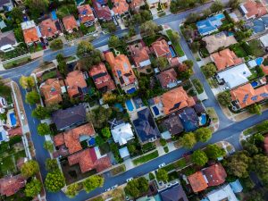
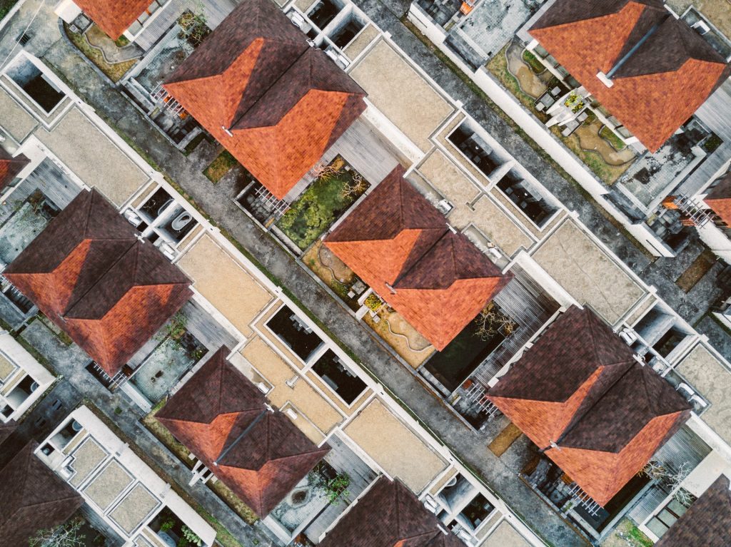
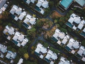
Commercial Real Estate
Sell real estate listings faster and attract more clients by showcasing your commercial property from the air. Panoramas, images, and video tours using high quality aerial footage illustrate proximity to nearby amenities, roads, and features.
Video tours illustrate proximity to nearby amenities, roads & features
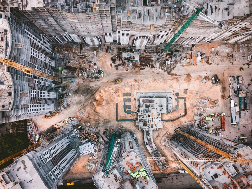
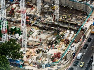
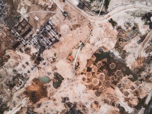
We capture images from various altitudes, distances, and directions to give you the full picture of your project. Get updates on a weekly, monthly, or yearly basis to understand how your project is progresssing.
Monitor Progress
Aerial drone photos and videos are excellent tools for monitoring progress on a consistent basis, getting a detailed overview of your project, and highlighting your completed work.
Provide stakeholders with visual evidence of your project's progress
Valuable Data
Get the big picture of your construction project. See your site from all angles to truly understand its development progress. Drone photography can provide the views you need, whether it is up close or farther away, giving you a detailed overview of your site and painting the full picture.
A drone suervey can help identify and locate imperfections or damage to a building or structure. Aerial inspection with drones also reduces the disruption to regular business workflow as well as the dangaers assocaited with working at height. Inspections are completed much quicker than a traditional inspection. Plus a visual record can will be available for future reference. Reduce potential safety issues by doing aerial inspections.